CycleRAP
Click here to learn more about the CycleRAP Advisory GroupClick here to download this information page What is ‘CycleRAP’? CycleRAP is an innovation project being led by iRAP to develop an enhanced risk evaluation model specific to bicycling and other light mobility...Ai-RAP
What is AiRAP? Data is increasingly considered as critical to addressing the global road safety crisis. The UN Second Decade of Action aims to halve fatal and serious injury road crashes by 2030. For this to happen, the tools and methods used to assess and address...iRAP Programme Management System
Description Managing a global programme across 100+ countries is a challenging task! Thanks to the amazingly generous pro-bono support of Microsoft Dynamics CRM Provider Barhead, coupled with the recent technical support of NTT, tracking our global programme is...Global Analytics
Description Big data presents amazing opportunities for scientific discovery and technological progress. iRAP partners around the world have collected close to 1,000,000km of data from roads across 90 countries. Unlocking the power of this data to inform research and...Speed Management
Description Vehicle speeds play a major role in the likelihood of a crash and in the severity of a crash—for all road users. Speed is the focus of one of the UN’s 12 Global Road Safety Performance Targets. Target 6 aims to halve the proportion of vehicles...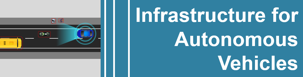
Safe roads for autonomous vehicles
Description Infrastructure Star Ratings for the Self-Driving Car will measure how well road infrastructure design supports the driver assistance technologies of the future and increasing levels of autonomous vehicles. Serious crashes on inter-urban roads may be...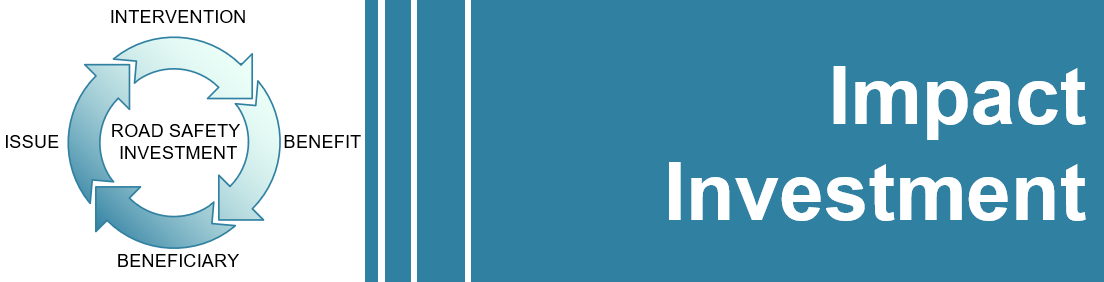
Social Impact Investment
The Need More than three thousand preventable deaths and over 100,000 injuries from occur from road trauma every day[1]. Over the next ten years more than 30 million people will suffer life-changing injuries in road crashes. The costs will be borne by families,...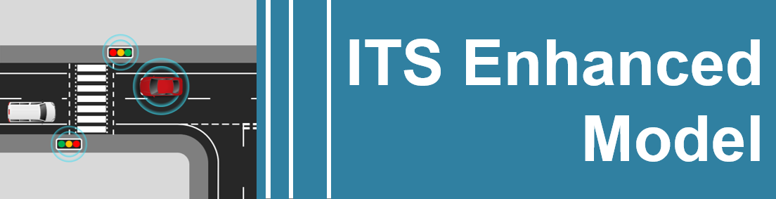
ITS Enhanced
Description The use of a range of ITS solutions (e.g. ramp metering, incident detection, weather monitoring, VMS / advance warning, lane keeping, hard-shoulder running, variable speed limits and managed motorways) is helping to reduce crash rates on high-standard...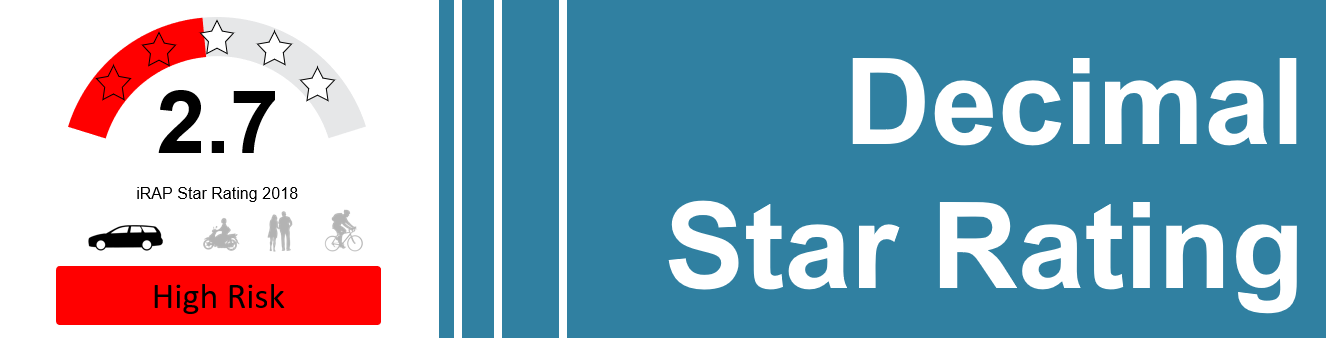
Decimal Star Ratings
Description Decimal Star Ratings offer a more sensitive, nuanced, and actionable way to understand and communicate road safety. Whether you’re evaluating infrastructure improvements, analysing safety scenarios, or tracking progress along a road corridor, decimal...