We are excited to announce the launch of a new ‘Safe Schools Tracker’ – a Star Ratings for Schools (SR4S) interactive report that shares insights about how safety around schools is being improved.
SR4S is an evidence-based tool for measuring, managing and communicating the risk children are exposed to on a journey to school. It supports quick interventions that save lives and prevent serious injuries from day one.
World-leading NGO’s involved in school road safety have supported the SR4S development and application globally.
Since the official launch of SR4S, locations at almost 1,000 schools across 55 countries have been assessed by partners. There are more than 150 locations around schools across 18 countries where improvements have already been made post-improvement assessments completed.
Available at: starratingforschools.org/safe-schools-tracker, the new interactive tool enables you to explore what safety improvements were made and measure their positive impact for the school communities. The data will be progressively updated as locations are improved and new assessments made.
Examples of insights include:
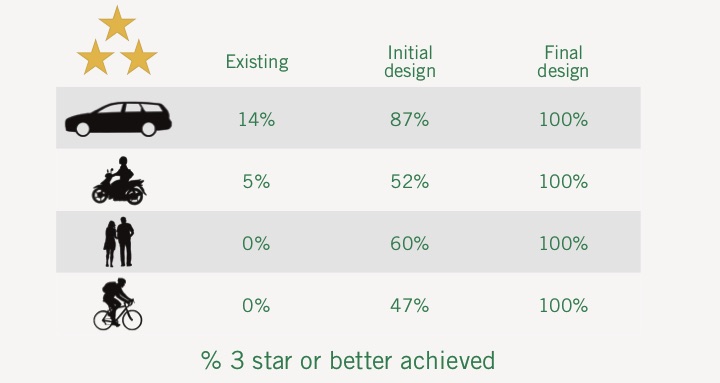
- The average rating at locations has improved from 2.7 stars to 4.4 stars (with 5 stars being the safest rating).
- Before the improvements 54,000 students in 10 countries had access to 4 and 5-star rated locations and after the improvements 136,000 students in 16 countries now have access to 4 and 5-star rated locations.
- Before the improvements 23% of locations featured speed limits of 30km/h or less and that increased to 55% after the improvements.
- Before the improvements traffic calming was present at 17% of locations and that increased to 69% after the improvements.
- Before the improvements 45% of locations had formal sidewalks and that increased to 63% after the improvements.
- Before the improvements, 62% of locations had no pedestrian crossing and after the improvements that decreased to 24%.
- Before the improvements 42% of locations had no school warnings in place and after the improvements that decreased to 18%.
- Before the improvements, 24% of locations featured adequate signs and lines for safety and that increased to 82% after the improvements.
Presenting the tool for the first time, at the FIA Region II Roundtable co-hosted by AA Vietnam and AIP Foundation, iRAP Global Programme Director said, “The insights in the ‘Safe Schools Tracker’ are the product of enormous efforts by road safety partners, schools and road authorities worldwide.”
“The ‘Safe Schools Tracker’ is an important resource to bring the SR4S partners together and highlight practical examples for implementing life-saving road infrastructure around schools.”
SR4S Program Coordinator, Rafaela Machado said. “The insights available in the tool are cause for celebration – every step our partners make in improving speeds and infrastructure around schools is a step towards saving lives and preventing injuries.
“The tool shows not just what can be done in theory – but what is actually being done all around the world and will inspire even greater efforts.”
SR4S has benefited from the support of founding sponsor FedEx, major donor the FIA Foundation, programme partner 3M and lead partners, AIP Foundation, Child Health Initiative, EASST, FIA, Fundación Gonzalo Rodríguez, Global Alliance of NGOs for Road Safety, GRSP, IRF, Safe Kids Worldwide, YOURS and World Resources Institute. SR4S is made safer by iRAP.
Find out more information here starratingforschools.org
