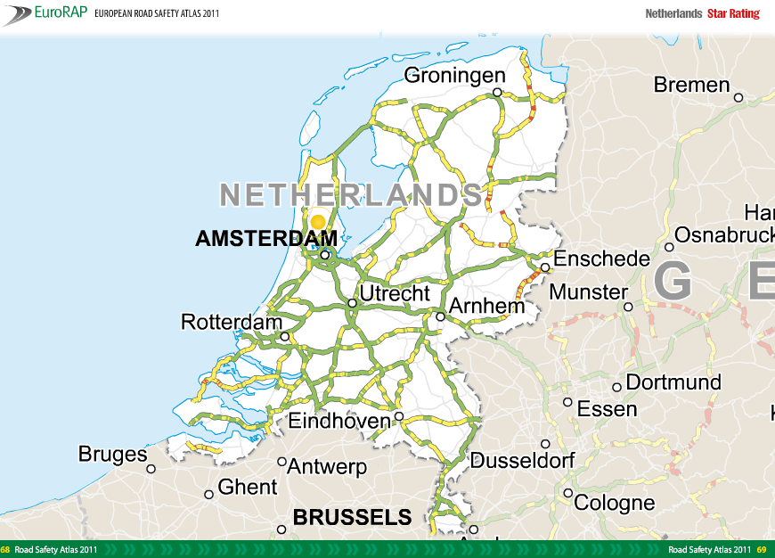
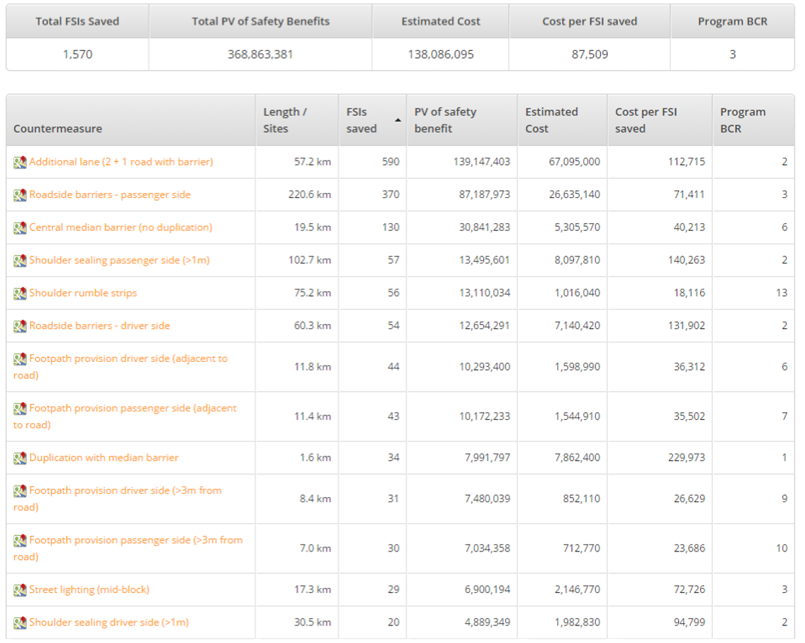
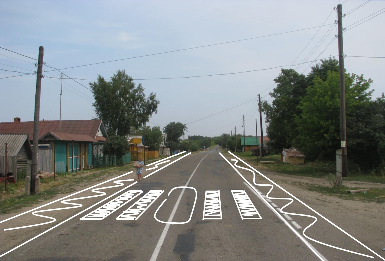
The Road Safety Foundation, in partnership with Ageas UK, has today launched an innovative interactive Road Crash Index alongwith its latest UK risk mapping and performance tracking report on the EuroRAP network of Motorways and A roads.
According to the report, Cutting the Cost of Dangerous Roads, the UK’s local authority A road network needs an immediate injection of £200 million to tackle the high risk road sections.
In a major innovation last year, the UK government allocated £175m Safer Roads Fund to tackle a portfolio of the 50 most dangerous local A roads in England – roads posing the highest risk of death and serious injury to users. These roads have been inspected, remedial proposals prepared and the first findings will be reported in 2018.
In total, a further 6,111 kilometres on more than 550 sections of unacceptably high risk roads, shown in red or black on Road Safety Foundation risk mapping, will need to be addressed by the Safer Roads Fund in the drive to bring road deaths towards zero.
For the first time, the Road Safety Foundation/Ageas UK partnership has launched the interactive Road Crash Index which shows the level of road safety improvement (or declining performance) in each county between 2010-12 and 2013-15. It shows a county ranking based on improvement, the cost of injury road crashes in each county and the cost per head of population, together with risk maps for each county and any improved or persistently higher risk roads. The interactive includes an opportunity to tweet or email relevant MPs to ask them to support road safety investment.
The report, Cutting the Cost of Dangerous Roads, identifies that on the EuroRAP network of Motorways and A roads (the 10% of the road network that contains half of all road deaths):
- Single carriageway ‘A’ roads are 7 times the risk of motorways and nearly 3 times the risk of dual carriageway ‘A’ roads
- Great Britain’s highest risk road is the A537 between Macclesfield and Buxton, known as the Cat and Fiddle, in the Peak District
- This year’s most improved road is the A4151 in Gloucestershire from Nailbridge to the A48
- The largest single cause of death on the network was run-off road crashes (30%)
- The largest single cause of serious injury on the network was crashes at junctions (33%)
- High risk single carriageway roads are 67 times more risky than low risk single carriageways
These findings are in a context of:
- The number of people killed on Britain’s roads increased by 4% from 1,730 in 2015 to 1,792 in 2016, the highest annual total since 2011
- On average, 71 people are killed or seriously injured on Britain’s roads every day
- 51% of fatal casualties occurred on non-built-up roads – just 10% of the total road network
- 5% of fatal casualties occurred on motorways
- Road traffic crashes cost the British economy £36 billion
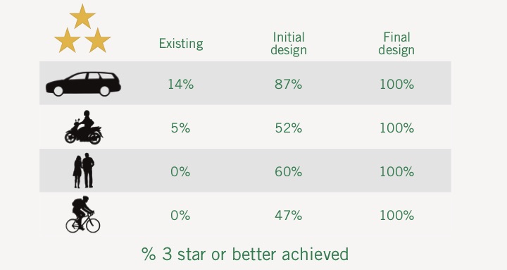
Highways England has set a clear long-term goal to bring the number of people killed or injured on its 6,883 km network as close as possible to zero by 2040. It has committed that, by the end of 2020, 90% of travel on the roads for which it has responsibility will be on roads with a 3-star safety rating or better. The report shows that:
- Between 2010-12 and 2013-15 risk reduced by 3.5%
- 90% of motorway travel is now on low risk sections
- 23% of dual carriageway travel is on low risk sections
- Only 1% of travel on single carriageways is on low risk sections, 8% is on medium-high risk sections.
The 2017 EuroRAP Risk Mapping and Performance Tracking results were launched today at the House of Lords in London.
iRAP CEO Rob McInerney said, “The UK is leading the way with the launch of its interactive data tool and in saving lives on its roads.”
To view the Report, Road Crash Index and GB EuroRAP Risk Maps, click here.
