Image credit: Estrellas de Neuquen
Original article content from the Global Alliance of NGO’s for Road Safety
New street-level data is helping to highlight the realities of people’s journeys around the world, and the impact of actions that aim to make our streets safer, particularly for people who walk.
Through Mobility Snapshots, a landmark initiative from the Global Alliance of NGOs for Road Safety, road safety advocates in 44 countries gathered data at 118 busy intersections near public transport hubs and shopping facilities – places where many people walk.
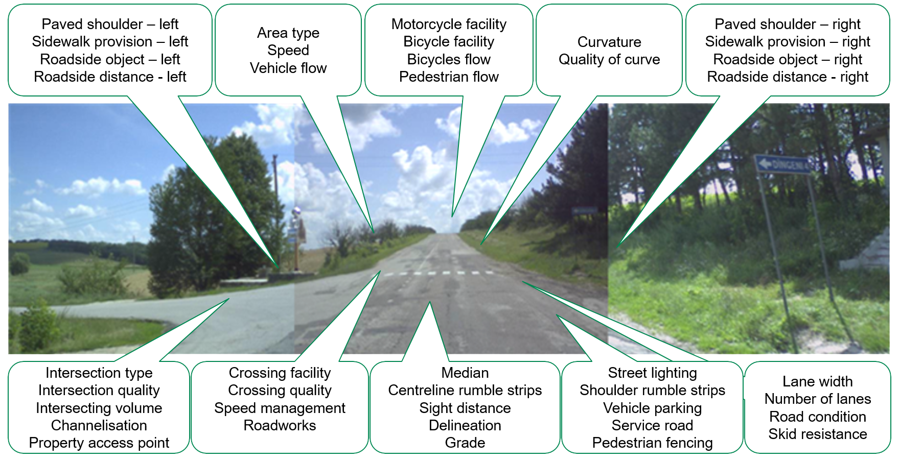
The Mobility Snapshots leverages the iRAP Star Rating methodology to create snapshots – images and short video clips showcasing real commutes at high-risk intersections in different cities around the world. Using iRAP’s Star Rating model, the images capture the safety of the roads environment, with a particular emphasis on pedestrian access and usage.
The data reveals worrying gaps in pedestrian-friendly infrastructure and laws that save lives.
More than 156,000 pedestrians used the 118 intersections during peak hours, yet 102 of the intersections lacked 30 km/h limits or lower, 67 lacked usable footpaths, 106 lacked usable crossings, and 102 lacked traffic calming measures. These are key to making pedestrians’ journeys safer and more comfortable.
At these intersection – as with many more around the world – pedestrians have been overlooked in road design and implementation, even where their presence should be expected. To learn more, see all the Mobility Snapshots HERE.
The Mobility Snapshots are strengthening NGOs’ data-driven advocacy with their government authorities. Intersections in Argentina, Azerbaijan, Ethiopia, and Zimbabwe have already been transformed, with other NGOs also reporting valuable impacts.
Some examples:
- In Addis Ababa, Ethiopia, when Save the Nation shared the experience of road users at the Mobility Snapshot intersection via their TikTok channel, it caught the attention of transport planners, who quickly implemented a pedestrian crossing, traffic calming and other interventions.
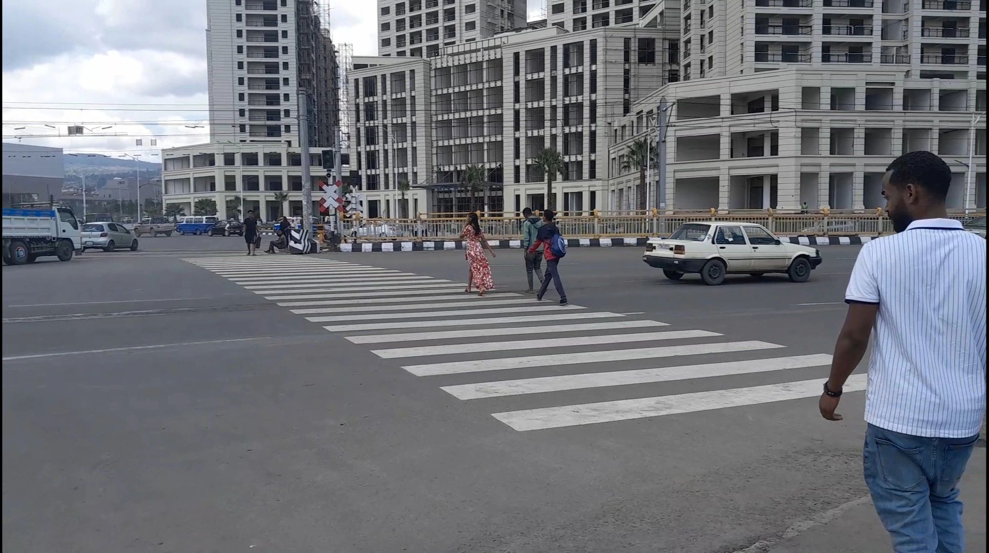
New pedestrian crossing installed in CMC Adebabye intersection in Addis Ababa. © Save the Nation
- In Sumqayit, Azerbaijan, AMAK were encouraged that the authorities approved a speed limit of 20 km/h around School 4, lower than the 30 km/h limit that the NGO had requested and the first 20 km/h zone in Azerbaijan.
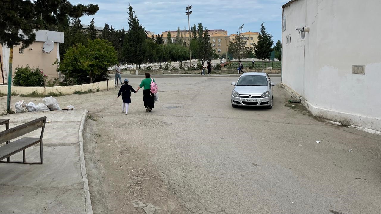
The intersection of Asadov Street and School No. 4. © AMAK
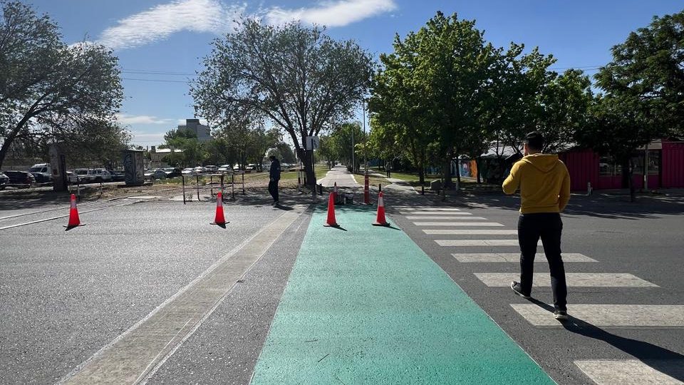
- In Neuquen, Argentina, presenting data to the authorities has enabled Bien Argentino to argue the case for speed limit reductions, crossings, and traffic calming at the relevant intersections. These changes have now been implemented.
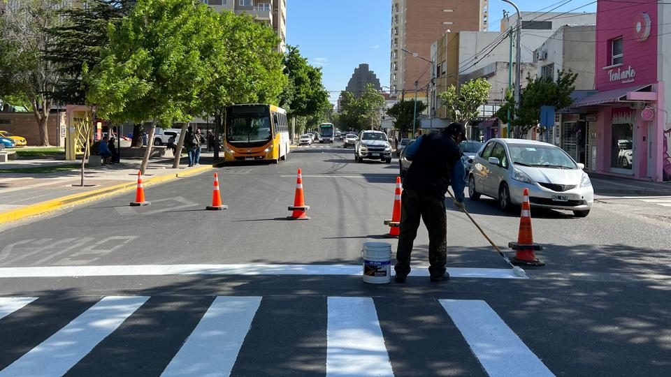
The intersection of Tierra del Fuego and Pedro Mazzoni. © Bien Argentino
- In Salinas, Ecuador, Movidana has been able to develop a productive partnership with the city mayor and Secretary of Mobility to seek funding for the Mobility Snapshot recommendations and to implement low-cost tactical urbanism in the meantime.

Movidana showing safe road designs with evidence-based interventions to the Mayor of Salinas and the Director of Mobility. © Movidana
- In Kampala, Uganda, NGO members of the the Road Safety Advocacy Coalition Uganda are using the Mobility Snapshots to support the Kampala Capital City Authority in identifying dangerous intersections to be upgraded in line with the national road authority’s updated road design manuals.
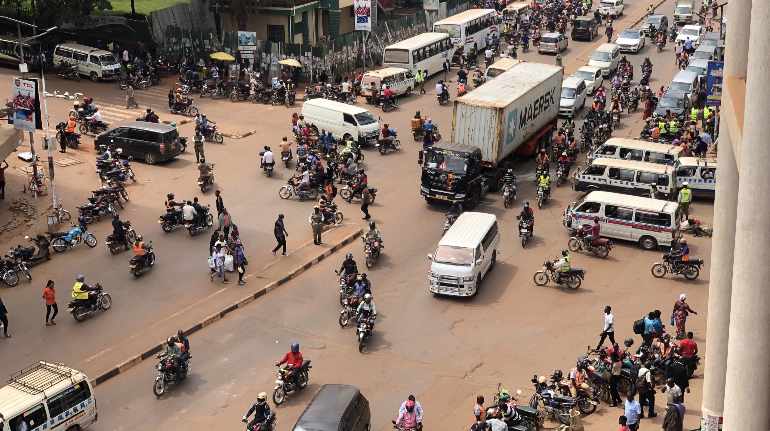
The intersection of Kampala Road-Burton-Johnson street and The Square 1, Kampala, Uganda. © Uganda Road Accident Reduction Network Organisation’s (URRENO)
As the 4th Ministerial Conference on Global Road Safety approaches, Mobility Snapshots are a reality check from the frontline of the road safety crisis: the every day journeys faced by people walking to work, school, market, or home. They are a resource for road safety advocates to show decision makers what needs to be done, at street level, city level, and national policy level. At the Ministerial Conference, the Alliance will launch a publication with findings from the Mobility Snapshots.
In the meantime, check them out on our Mobility Snapshot map.

