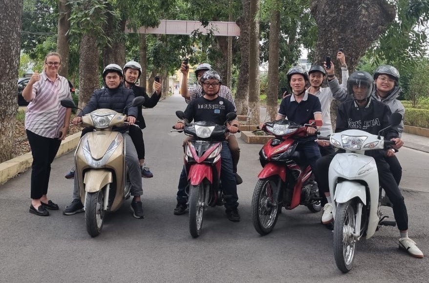
The NWSI team is prepared to begin data collection, navigating school zones on motorcycles to capture 360-degree imagery. (Image credit: AIP Foundation, Anditi)
Training has commenced in Hanoi as part of the $2 million Google.org AI&Me Project leveraging AI to support a country-wide safety assessment of road infrastructure around 900 schools in Vietnam and support upgrades at the highest-risk locations.
On 26-27 November 2024, Forest Inventory and Planning Sub-Institute, Northwest Region (NWSI) in partnership with Anditi, AIP Foundation and iRAP, held a two-day training session in Hanoi, Vietnam to equip NWSI staff with techniques for 360-degree image data collection.
The training kicked off with an introduction to the AI&Me: Leveraging AI tool for road safety impact project by AIP Foundation. Jane Kennedy at Anditi, then outlined the objectives of collecting 360-degree images. Attendees were trained to use Insta360 cameras and Garmin Forerunner GPS watches for capturing georeferenced imagery. The session included detailed guidance on operating the equipment and uploading data to the system.
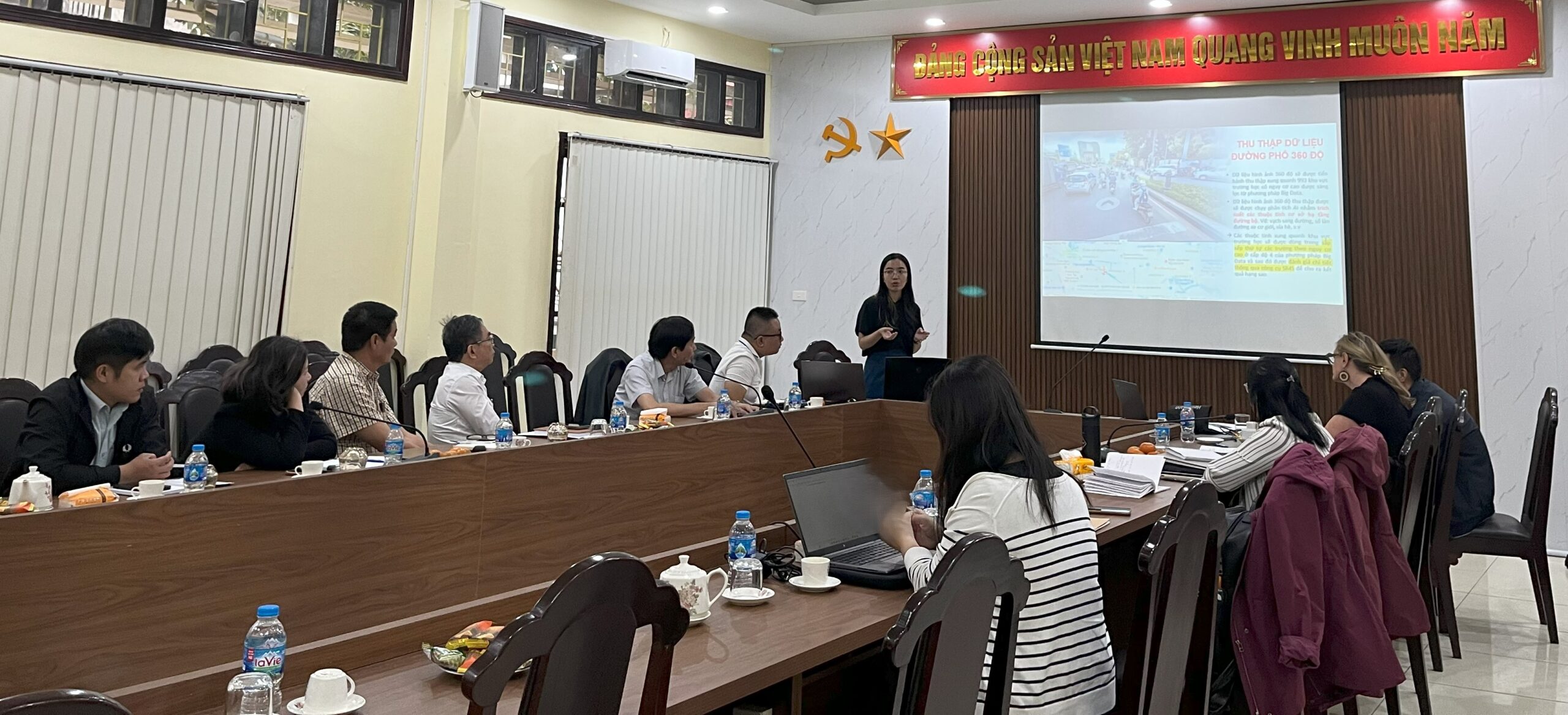
Presentations by AIP Foundation, Anditi, and a speech from NWSI (Images credit: iRAP)
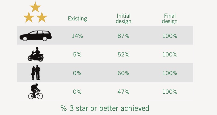
On the second day, participants gained hands-on experience by capturing sample images at seven schools in Hanoi. This practical exercise enabled the NWSI team to refine their techniques and address questions about data collection boundaries, equipment operation, and image uploads. By the end of the training, NWSI staff were fully equipped to carry out large-scale data collection across more than 900 school zones in 12 provinces in Vietnam. The 360-degree images will be used to support Big Data Screening, helping to identify the list of schools located in high-risk road environments. They will also facilitate the automated detection of Star Rating for Schools (SR4S) attributes, providing detailed safety assessments on a scale from 1-star (least safe) to 5-star (safest). This data gathering is the first step in our plan to automate road safety assessments and star-rate every road on earth.
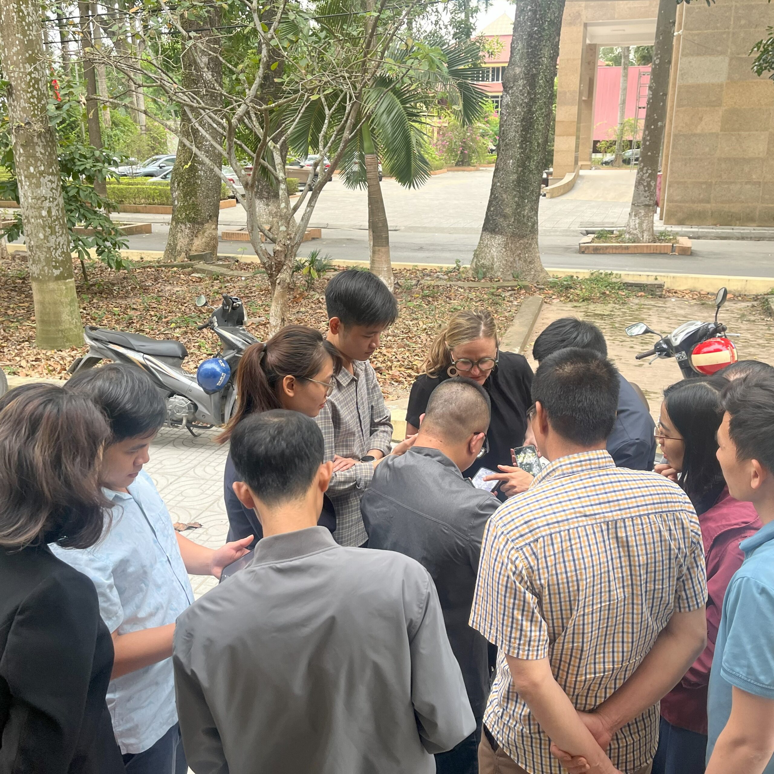
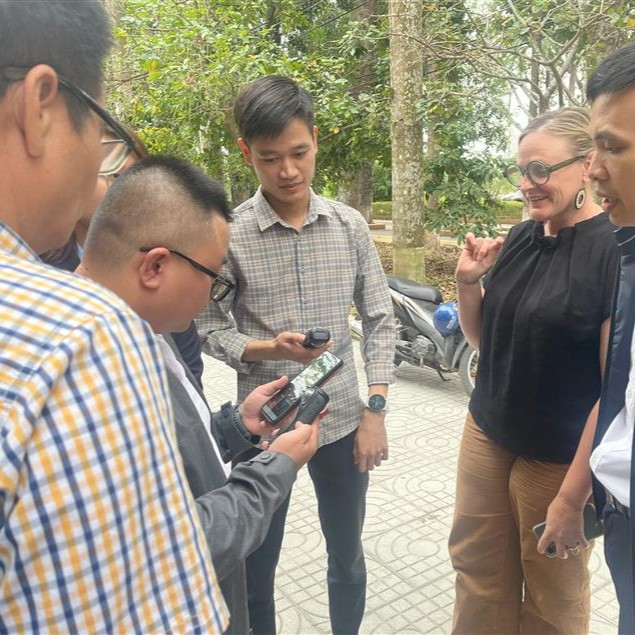
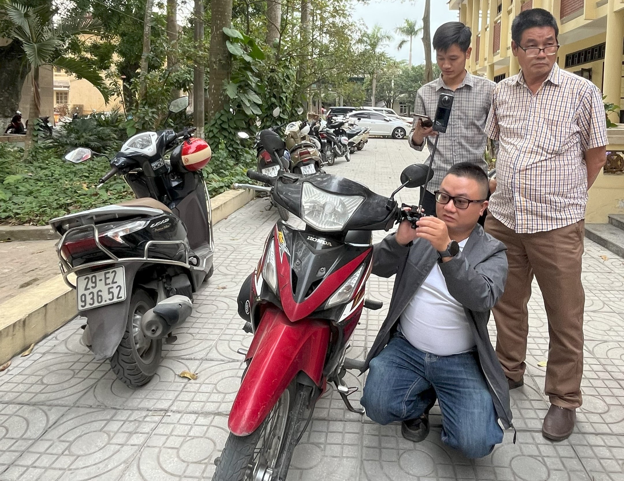
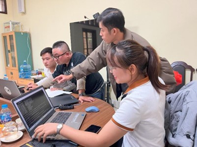
The NWSI team learned how to operate the equipment and upload data with guidance from Anditi (Images credit: iRAP)
“The use of 360-degree imagery and AI in this project is a game-changer for road safety,” said Jane Kennedy, GIS Analyst at Anditi. “It’s inspiring to see technology being used to directly improve the safety of school zones, ensuring children have safer journeys every day.”
The training is part of the AI&Me: Leveraging AI tool for road safety impact project, which aims to harness technology to drive change and create safer environments for children around schools. The project is supported by a $2 million grant from Google.org, awarded through the AI for the Global Goals initiative, to iRAP and its partners including AIP Foundation, Anditi and the University of Zagreb (FPZ, FER). By using AI, satellite imagery and Street-View images to detect road safety risks, the project will provide a country-wide safety assessment of road infrastructure around schools in Vietnam and support the upgrades at the highest-risk schools. AI for the Global Goals is part of Google’s company-wide commitment to help accelerate progress towards the UN’s Sustainable Development Goals. All of the projects funded through this initiative will be open-sourced, so other organizations can build upon the work.
Through the collaborative effort in the AI&Me project, Vietnam is taking a significant step toward creating safer school zones. The integration of advanced technology with local expertise ensures that every journey to school is safer for children across the country. This initiative underscores the transformative power of AI and international collaboration in enhancing safety for vulnerable road users.
