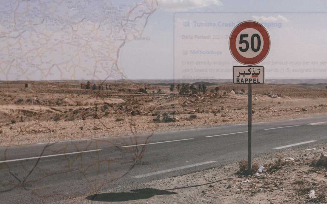
New Risk Mapping has been completed for 14,800 km of Tunisia’s road network to inform an understanding of crash risk and evidence-based investment to reduce road deaths and serious injuries.
Based on the most recent five years of crash data (2021–2025), the updated iRAP Risk Map replaces the previous version developed for the 2015–2019 period.
Crash Risk Maps use detailed crash data to capture the combined risk arising from the interaction of road users, vehicles and the road environment, and provide an indication of the overall road system’s safety performance.
The maps provide an at-a-glance and objective view of where fatal and serious injury crashes have occurred and where serious crash risk is greatest. Using iRAP’s global methodology allows benchmarking and performance tracking over time.
Primary metrics include crash rates per kilometre/mile and crashes rates per kilometre/mile travelled with more detailed versions including road user, age group or in relation to average crash rates for that road type.
iRAP Accredited Practitioner Ahmed Ksentini said, “The new risk bands are defined using a quantile-based classification, allowing a clearer prioritization of the most hazardous road sections.
“The entire process is fully automated through KSR developed tools and owned GIS. Crashes are extracted directly from the official database (after validation), processed, and mapped without any external intervention. This ensures consistency, repeatability, and rapid updates as new data become available.”
The map will support national data to inform safe route selection choices and prioritised investment on high-risk road sections.


Tunisia Crash Risk Mapping by Density

Tunisia Crash Risk Mapping by Risk
According to the iRAP Safety Insights Explorer achieving UN Target 4 for greater than 75% of travel on 3-star or better roads for all road users in the country by 2030 stands to save an estimated 678 lives each year and 753,434 lives and serious injuries over the 20-year life of road treatments with an economic benefit of USD$809.9 million – $16.4 for every $1 spent.


