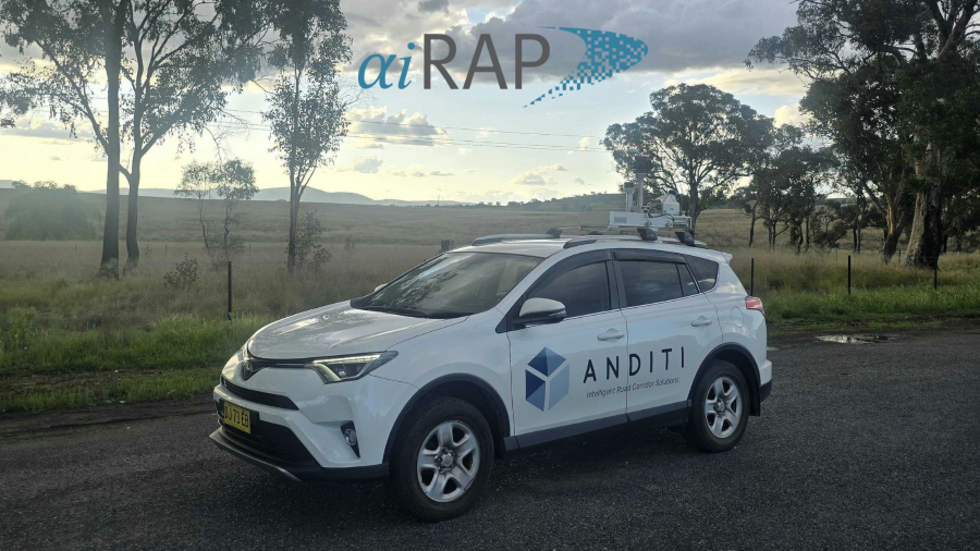
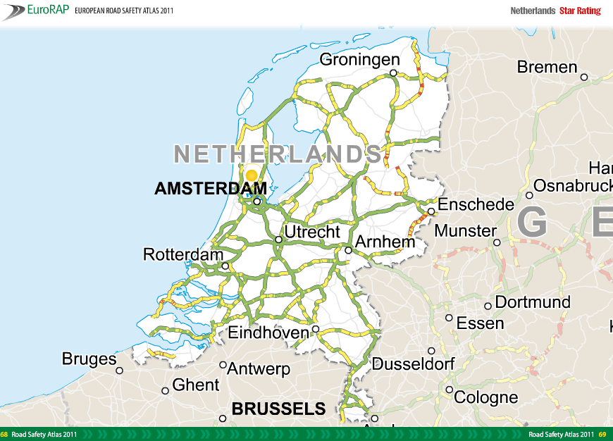
Anditi and Agilysis have announced their collaboration on a major road safety initiative for the Department of Transport and Main Roads Queensland (TMR) to conduct an AiRAP Star Rating assessment across nearly 6,000 km of the state’s National Land Transport Network highways in Australia.
The road network encompasses major roads such as the Bruce and Warrego Highways, which act as critical links between the state’s regions.
The announcement comes on the back of the Australian Government’s $7.2 billion commitment to improve road safety on the Bruce Highway to a minimum of three stars, announced in January.
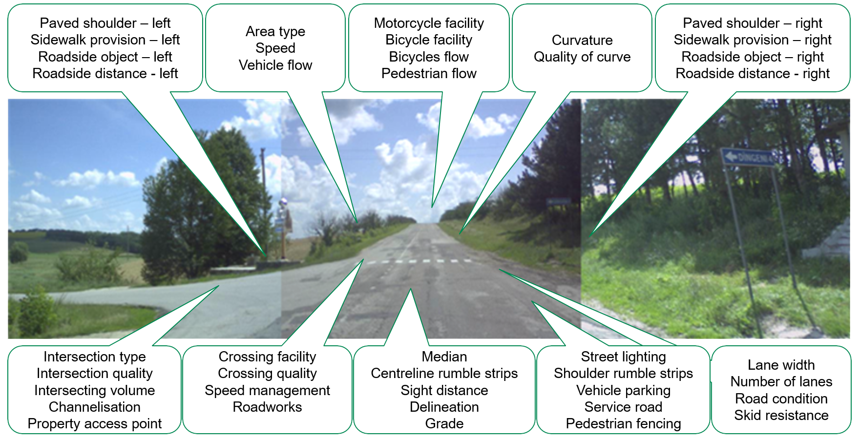
As two of the few companies globally certified by iRAP to undertake AiRAP assessments, Anditi and Agilysis are uniquely qualified to deliver this essential work. Together, they are leveraging advanced data collection methods to evaluate critical road attributes, including Average Annual Daily Traffic (AADT), speed profiles, and other road user information, ensuring evidence-based outcomes for safer roads.
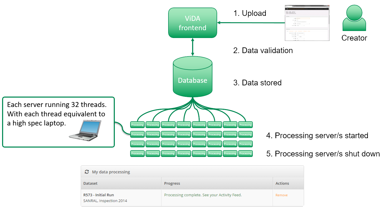
Anditi’s RoadViewer technology, which is the only AiRAP accredited inspection system globally, will be using mobile LiDAR and 360-degree imagery collected by Anditi and Veris to create a digital twin of the road corridor. This digital twin is supplemented by traffic flow data provided by Agilysis to enable the Star Rating of these crucial highways.
Peter Jamieson, Managing Director of Anditi said, “We’re proud to be playing our part in helping to make Queensland’s roads safer, to reduce road fatalities and injuries. We’re looking forward to introducing this technology to Queensland for the first time, working together with TMR over the coming months to apply automated AI and machine learning techniques to obtain an iRAP Star Rating.”
About AiRAP
AiRAP stands for the ‘accelerated and intelligent’ capture of road safety-related data using automatic, repeatable and scalable methods to support road safety assessment, crash risk mapping and investment prioritisation for all road users. The AiRAP initiative was conceived by iRAP in 2019 to help improve access to, and application of, existing and emerging data sources globally, including advances in artificial intelligence, machine learning, vision systems, LIDAR, telematics and other data sources. AiRAP accreditation ensures the data meets iRAP’s globally recognised standard in use in 132 countries for the recording and measurement of road features that impact road safety to analyse and benchmark performance.
irap.org/airap
About Anditi
Anditi is an advanced Australian spatial analytics and tech company specialising in the transformation, classification, analysis and visualisation of geospatial data, including aerial, mobile, terrestrial LiDAR, 360-degree aerial and satellite imagery. Using its proprietary software, Anditi algorithm developers, data scientists and GIS data specialists utilise the latest analytical techniques such as machine learning and AI to help clients maximise their investment by using data as a renewable resource in areas such as built environment, terrain and vegetation, drainage and overland flow, asset management, road corridor assets and road safety. Anditi has recently completed the world’s largest 20,000km AiRAP assessment for Main Roads Western Australia and is the key technology partner on iRAP’s award-winning Ai&Me and Google.org projects helping to transform the safety of school journeys across Vietnam, and the world.
anditi.com
About Agilyis
Agilysis is a leading provider of cutting-edge technology solutions, specializing in data-driven strategies, digital transformation, and innovative consulting services. Through its partnership with TomTom, Agilysis has developed innovative pipelines to quickly download, code, and export vital datasets. These capabilities have supported road assessments in over 70 countries, helping road authorities worldwide implement safer infrastructure strategies.
agilysis.co.uk
