
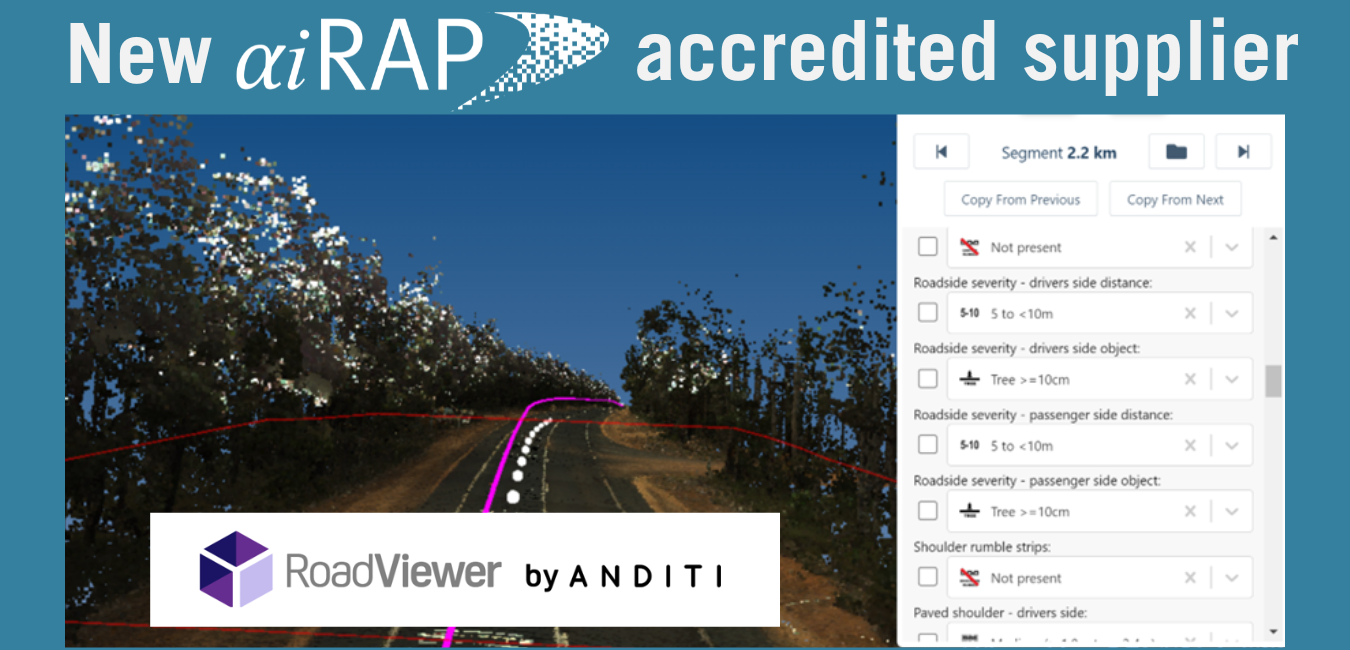
Nos complace anunciar que la firma australiana Anditi ha recibido AiRAP Acreditación de atributos para sus métodos de producción de datos de atributos viales a partir de imágenes LiDAR y de 360 grados de acuerdo con las especificaciones iRAP.
Los nuevos datos de origen se pueden utilizar para producir 34 atributos de la carretera Para las carreteras de toda Australia, Anditi desarrolló y perfeccionó los métodos de extracción de datos basándose en las redes de carreteras de Australia Occidental, Nueva Gales del Sur y Victoria.
Los datos AiRAP se pueden utilizar junto con RoadViewer, el sistema de inspección acreditado de Anditi.
RoadViewer y AiRAP (Vídeo).mp4 de Anditi en Vimeo.
Para obtener más información sobre los datos, haga clic aquí.
La acreditación AiRAP es la categoría más reciente de acreditación de iRAP. Su objetivo específico es certificar que el uso de datos derivados de métodos de big data y/o aprendizaje automático cumple con las especificaciones de iRAP. Puede encontrar más información sobre AiRAP en www.irap.org/airap.
El proceso de acreditación AiRAP está abierto a cualquier proveedor de datos y se gestiona como parte del programa más amplio de iRAP. programa de acreditación.
Acerca de Anditi
Fundada en Australia en 2014, Anditi es líder mundial en la extracción de atributos de seguridad vial e información sobre activos de corredores viales a partir de datos de teledetección. Esto se logra mediante LiDAR móvil y aéreo, imágenes aéreas y satelitales de 360 grados y nuestro software propio RoadViewer para el análisis de datos, la extracción de características y la visualización.
Tenemos acceso a datos LiDAR e imágenes de más de 60 países y trabajamos con una amplia gama de proveedores de captura de datos.
Durante los últimos 3 años, hemos colaborado estrechamente con iRAP en el desarrollo y la definición de su Programa de Evaluación Acelerada e Inteligente de Carreteras, y estamos orgullosos de formar parte de este importante logro y de su capacidad para reducir las muertes y lesiones en carretera a nivel mundial.
Además de generar evaluaciones de carreteras con calificación de estrellas AiRAP, RoadViewer también ofrece una variedad de productos y servicios para corredores viales, incluyendo gestión de activos, control de puentes y análisis de trayectoria/detección de colisiones para vehículos de gran tamaño. Esto contribuye a maximizar el valor y la utilización de los datos LiDAR e imágenes una vez capturados.
Estos datos se pueden proporcionar en formatos 2D y 3D compatibles con los requisitos de la clasificación por estrellas iRAP VIDA y los formatos estándar de paquetes GIS/CAD. También se pueden proporcionar a través de nuestro portal web RoadViewer, que es intuitivo y fácil de usar. El portal RoadViewer ha sido diseñado para importar y exportar múltiples tipos de archivos, permitir mediciones y anotaciones, y funcionar a la perfección con otros programas geoespaciales. Esto proporciona una combinación inigualable de análisis y visualización geoespacial desde cualquier ubicación.
Puede encontrar más detalles sobre Anditi en www.anditi.com y www.roadviewer.com

Haga clic aquí para ver la lista completa de proveedores acreditados AiRAP.
Haga clic aquí para descargar la información detallada del proveedor Anditi.