
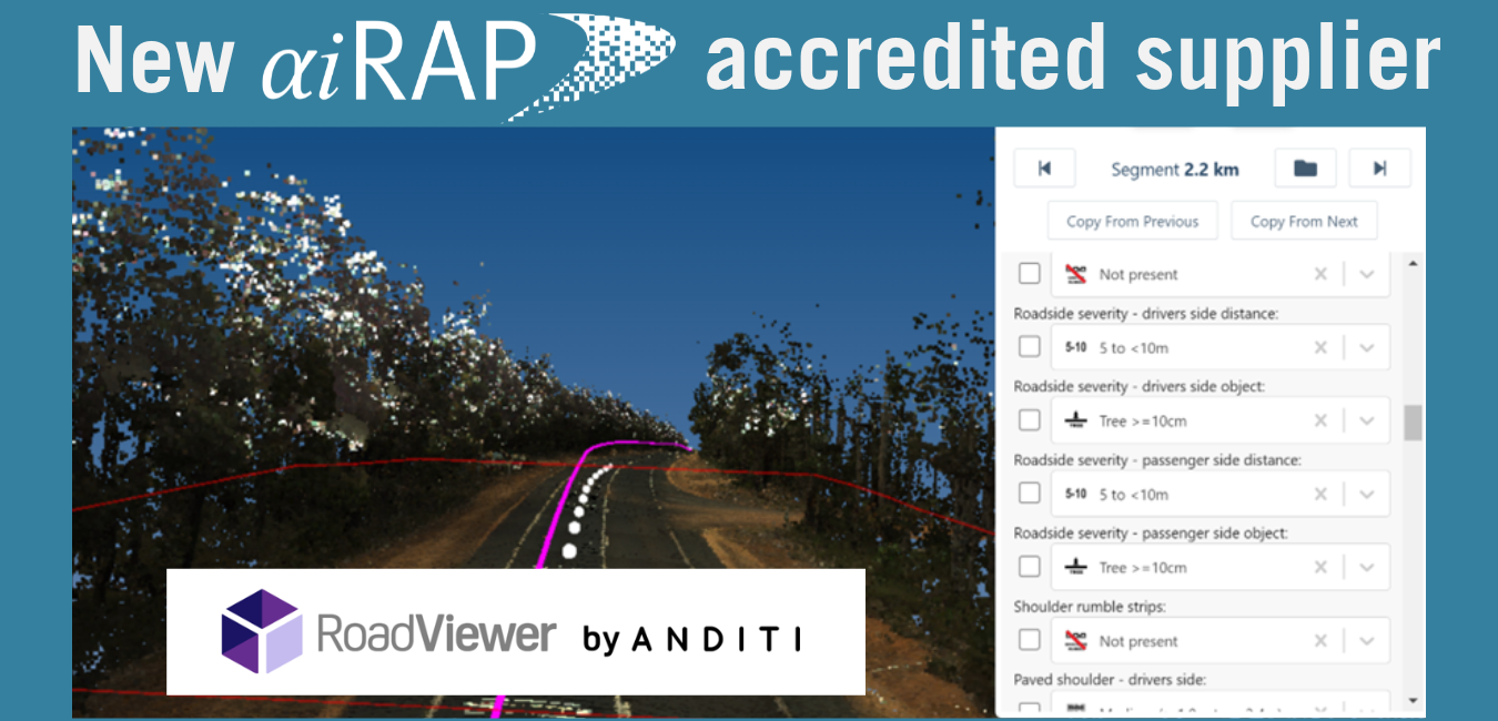
Temos o prazer de anunciar que a empresa australiana Anditi recebeu AiRAP Atribuição de acreditação aos seus métodos de produção de dados de atributos de estradas a partir de imagens LiDAR e de 360 graus, em conformidade com as especificações iRAP.
Os novos dados de origem podem ser usados para produzir 34 atributos de estrada para estradas em toda a Austrália. A Anditi desenvolveu e aprimorou os métodos de extração de dados com base nas redes rodoviárias da Austrália Ocidental, Nova Gales do Sul e Victoria.
Os dados AiRAP podem ser usados em conjunto com RoadViewer, o sistema de inspeção acreditado da Anditi.
RoadViewer e AiRAP (Vídeo).mp4 de Anditi sobre Vimeo.
Para obter mais informações sobre os dados, Clique aqui.
A acreditação AiRAP é a categoria mais recente de acreditação da iRAP. Ela certifica especificamente que o uso de dados derivados de big data e/ou métodos de aprendizado de máquina atende às especificações da iRAP. Mais informações sobre a AiRAP estão disponíveis em [link para a página de acreditação AiRAP]. www.irap.org/airap.
O processo de acreditação AiRAP está aberto a qualquer fornecedor de dados e é gerenciado como parte da estrutura mais ampla da iRAP. programa de acreditação.
Sobre Anditi
Fundada na Austrália em 2014, a Anditi é líder mundial na extração de atributos de segurança rodoviária e informações sobre ativos de corredores rodoviários a partir de dados de sensoriamento remoto. Isso é alcançado utilizando LiDAR móvel e aéreo, imagens aéreas e de satélite em 360 graus e nosso software próprio, o RoadViewer, para análise de dados, extração de características e visualização.
Temos acesso a dados LiDAR e imagens de mais de 60 países e trabalhamos com uma ampla gama de fornecedores de captura de dados.
Nos últimos 3 anos, trabalhamos em estreita colaboração com a iRAP no desenvolvimento e definição do seu Programa de Avaliação Acelerada e Inteligente de Estradas e orgulhamo-nos de fazer parte desta importante conquista e da sua capacidade de reduzir mortes e lesões nas estradas em todo o mundo.
Além de gerar avaliações de classificação por estrelas AiRAP para rodovias, o RoadViewer também pode ser usado para fornecer uma gama de outros produtos e serviços para corredores rodoviários, incluindo gerenciamento de ativos, altura livre de pontes e análise de trajetória de varredura/detecção de colisões para veículos de grande porte. Isso auxilia na maximização do valor e no aumento da utilização dos dados LiDAR e das imagens após a captura.
Esses dados podem ser fornecidos em formatos 2D e 3D compatíveis com os requisitos da classificação por estrelas VIDA iRAP e com os formatos padrão de pacotes GIS/CAD. Os dados também podem ser disponibilizados por meio do nosso portal web RoadViewer, que é intuitivo e fácil de usar. O portal RoadViewer foi projetado para importar/exportar diversos tipos de arquivos, permitir medições e anotações e funcionar perfeitamente com outros softwares geoespaciais. Isso proporciona uma combinação incomparável de análise e visualização geoespacial a partir de qualquer local.
Você pode encontrar mais detalhes sobre a Anditi em www.anditi.com e www.roadviewer.com

Clique aqui para ver a lista completa de fornecedores credenciados AiRAP.
Clique aqui para baixar as informações detalhadas do fornecedor Anditi.